What are you looking for?
MAPS OF CARDIFF CITY CENTRE, CARDIFF BAY & OUR NEIGHBOURHOODS
With a compact, flat city centre, finding your way around Cardiff is straightforward, but sometimes a map helps! We’ve got downloadable maps of the city centre and Cardiff Bay, and printed copies are available from the Visitor Information Point.
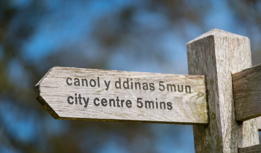
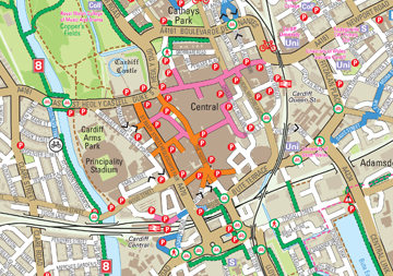
CARDIFF CITY CENTRE MAP
Click below to download a map of Cardiff City Centre which has been designed specifically for visitors, tourists, and people looking to explore Cardiff.
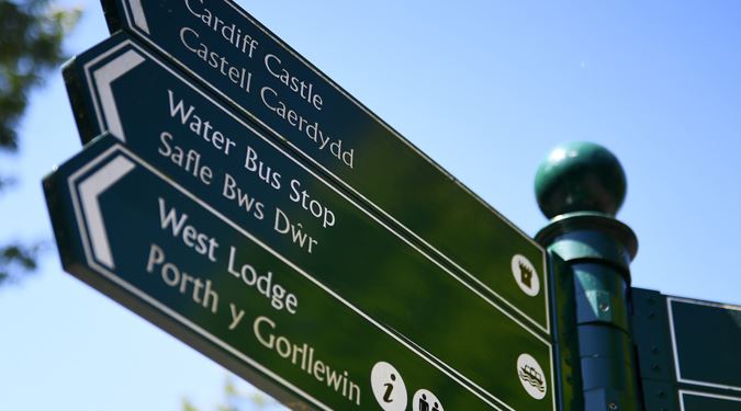
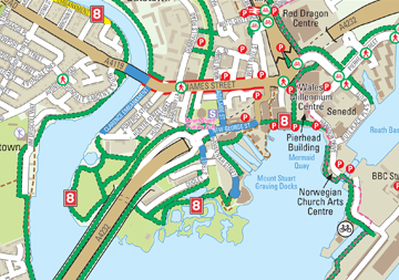
CARDIFF BAY MAP
Click below to download a map of Cardiff Bay, which has been designed specifically for visitors, tourists, and people looking to explore Cardiff.
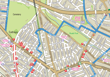
CITY CENTRE & ROATH PARK MAP
Click the button below to download a map of Roath Park and Lake, a short walk east of the city centre.
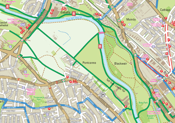
CITY CENTRE & PONTCANNA MAP
Click the button below to download a map of Pontcanna, a short walk northwest of the city centre.
WALKING & CYCLING ROUTE MAPS
EXPLORE THE CARDIFF BAY ART & HERITAGE TRAIL
TRAVEL AROUND CARDIFF
With so many ways to get from A to B, find out all the options to quickly and easily travel round our city.
PUBLIC TOILETS IN CARDIFF
Venues across the city centre and our neighbourhoods have accessible toilets for all to use. Find out where to go, when you need to go.


